As my last 10 walks from home have all been somewhere in the vicinity of the River Calder, I think it's time to find some other part of Yorkshire to explore before the season comes to an end, so it's to upper Airedale we head for a complete change of scenery. I'd fancied a shot at the FOSCL walk from Dent to Ribblehead today, but the changeable weather put me off that, and its wouldn't have linked up my walks in the Dales as the section from Garsdale to Dent would have been missing and I'm not going to venture solo into the Dales at this time of year. So instead, let's at least stitch together my canal walks in West Yorkshire to my ambles in the lower Dales and also return to part of the scene of my very first walk of 2012's season, and to get in one of the hills that I have observed many times. After all there are not that many opportunities for a canal walk and a summit on the same day!
Skipton & Flasby Fell Circular, by the Leeds & Liverpool Canal path to Gargrave,
and return via Skipton Woods and the Springs Branch. 13.1 miles.
Saturday, 15 December 2012

Friday, 14 December 2012
Calderdale Way #5: Illingworth to Brighouse 27/10/12
 |
| Self near Illingworth |
The Calderdale Way #5: Illingworth to Brighouse. 10.7 miles
Sunday, 9 December 2012
The Manifold Trail 24/10/12
The Leek and Manifold Valley Light Railway was a White Elephant by any interpretation of the phrase, opened as a narrow gauge line in 1904 to link the dairies of the Manifold Valley to the rails of the North Staffordshire Railway, it was never going to succeed as a passenger line as the valley it served had no significant habitation and tourist traffic would always be limited because, as one wag put it, 'the line starts in the middle of nowhere and ends in the same place.'. For thirty years its two locomotive transported milk to the wider world before the depression of the 1930s closed the dairies and put an end to the line in 1934, and Staffordshire County Council inherited the line, opening it as a bridleway in 1937, showing that practical thinking towards transport is not a modern phenomenon.
The Manifold Trail: Waterhouses to Hulme End 8.4 miles
The Manifold Trail: Waterhouses to Hulme End 8.4 miles
Saturday, 8 December 2012
The Monsal Trail 23/10/12
Whilst the Manchester, Buxton, Matlock and Midland Junction Railway was built as a joint venture with the L&NWR, completed in 1863, it was always the baby of the Midland Railway, forming their mainline to Manchester. If the line had remained open, carved through Wye Dale and the Derwent valley, it could have been a scenic line to rival the Settle & Carlisle (also a baby of the Midland Railway), but it met it's end in 1968 after the Labour government gave up on it, proving that idiotic decisions were still being made in the post-Beeching years. The Monsal trail, occupying stretches of the line was opened as a multi-use path by the Peak District National Park Authority in 1981, with Derbyshire County Council protecting the line from encroaching development, but the original trail took detours around four tunnels which were only reopened to use in 2011, thanks in part to Julia Bradbury walking them for her TV programme, and making the new alignment possibly the best railway walk in the whole country.
The Monsal Trail: Wyedale Head to Bakewell. 10.6 miles
The Monsal Trail: Wyedale Head to Bakewell. 10.6 miles
Thursday, 6 December 2012
The Tissington Trail 22/10/12
The London & North Western Railway were late arrivals to the Peak District, a region dominated by the Midland Railway (of whom more later), and their line from Uttoxeter to Buxton (via the lines of the North Staffordshire and the Cromford & High Peak railway) was opened in 1899 in an attempt to generate revenue in the area and to milk some of that sweet tourist money. It was a line that was popular with ramblers for easily accessing Dovedale and brought visitors to the Tissington Well-Dressing Festival (when people used to travel for such things), but the line was never profitable and only the lower section below Ashbourne was any use for local traffic and it lost passenger services in 1954 and closed entirely in 1967. The track bed north of Ashbourne was acquired by Derbyshire County Council and in 1971 was opened as a dedicated cyclepath, one of the first in the whole country, and as it's the longest of my planned walks for this holiday, it's a good idea to get it off the slate nice and early.
The Tissington Trail: Ashbourne to Parsley Hay. 13.5 miles
The Tissington Trail: Ashbourne to Parsley Hay. 13.5 miles
Monday, 3 December 2012
Carsington Water 21/10/12
Away from Calderdale for a while and head down country for a family get-together for celebration of my Mum's 70th birthday, on the nearest available week, and as it lands in Autumn Half Term week, this makes it possibly the most pre-planned holiday since our trip to Oberammergau in 1990. Amusingly, planning was done without an obvious destination in mind, but when notes were compared it turned out that My Sis and I had managed to pick out holiday houses within 3 miles of each other, I'd picked the nicer house but she picked a site with a pool so her girls might be more easily entertained, and her choice won out. So on the Saturday we all converge on South Derbyshire, to Knockerdown Farm, just outside the Peak District, and I travel with a pile of copies of OL24 and walking destinations for the first four days, hopeful that Autumn Jollies will deliver good weather.
Carsington Water. 9.6 miles
Carsington Water. 9.6 miles
Tuesday, 27 November 2012
Calderdale Way #4: Heptonstall to Illingworth 13/10/12
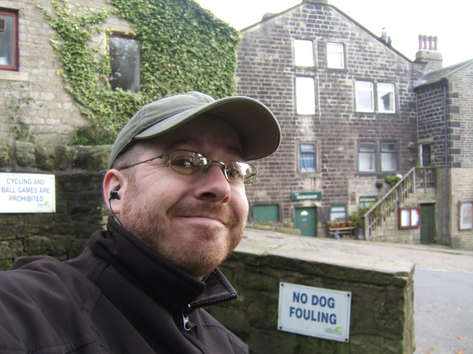 |
| Self in Heptonstall |
Calderdale Way #4: Heptonstall to Illingworth. 9.6 miles
Subscribe to:
Posts (Atom)