Rivington Park 3.6 miles, & Entwistle Reservoir 2.6 miles
It's a weekend of almost constant changeability, not as bad as the weather that has sunk Somerset or inundated the Thames Valley, but the sort of climate that has you checking for available windows of opportunity and hurriedly gathering all the outdoor gear before the girls can settle into a morning routine of TV and DS games. So haul all five of us into the car and pound it over to Rivington Park, on the other side of Winter Hill, for a Saturday morning of #hibernot, and a 9.45am start allows us to compare gear with my nieces looking like they almost have matching togs to wear, and can only be easily distinguished by choice of hat (Elder favours s knitted ski cap, whilst Younger prefers her wolf hat & scarf), and once again I feel like I'm underdressed, being the only one who hasn't donned any waterproof trews. Still we're all set to go, not needing too many provisions for a walk to the top of the park and back again, but in this instance it is a very literal top and even with it being only a short circuit. we'll be enjoying around 150m of ascent. So start out from the lane between the Great Hall and the Great House (for deliberate confusion, they both have notable cruck barns too0 and set of gently, due east and onwards through the pinetum to see that the girls are not at all fazed by a hiss of light drizzle, and the gusting wind, they have already grown well into outdoors folks, though we know they are still kids as we have to stop to interact with any passing dogs, and there are plenty of them out too, as few in this corner of Lancashire have been discouraged by the weather.
 |
| The Ascending Path |
 |
| The Dovecote |
The challenging ascents start when we hit the rocky path that ascends around the terraced gardens of Lord Leverhulme's park, mostly obscured by tree cover, and its good to see that the shoulders don't drop as the going gets harder and the pace is maintained even as the wind starts to cut in pretty forcefully and the exposed skin really starts to feel it. Meet the mid height bridleway about half way up, and pause for important watering and to enjoy the views down to the Rivington reservoirs, half hidden in the haze, and allow the horse traffic to pass before continuing up hill, diverting off the path to cross-country it uphill past the Japanese gardens. It's a mash of wintery colours on the edge of the moorland, quite different from the riot of greenery that was alive the last time that I came this way in September 2012, indeed my Sister has to point out that this is a variant on the route from back then, and I can wonder what the pavilions that look animal houses might have been originally, as this park has plenty of explanatory notice boards but not a great deal of specific information. A stepped path leads us up to the high bridleway, and that will be the limit of our ascent as winds are bit too unfriendly for going all the way to the top of Rivington Pike, and I'll speculate about the hardy orienteering types who are littered up here, and I'm informed that they are probably attempting the Three Towers trail, which also takes in Ramsbottom Peel Tower and Darwen Tower, and that seems unthinkable to me in this weather, #hibernot be damned! Tread the bridleway north to the dovecote, the other notable tower up on this hillside, standing above the pleasingly wild Edwardian terraced garden, and offering views toward Anglezarke moor and reservoir, a bit of formal civilisation on the edge of the wild moors.
 |
| The Footbridge |
 |
| The View from the Shore |
Our descent starts down through the terraces, which are a bit too slippery for my liking, but prevent all sorts of opportunities for playing castle with all the split levels and battlements, and I'm going to have to find some reading materials about this site so I can make sense of all these caged pavilions and accents of Arts & Crafts style classical order. It's all a lot of fun, picturesque in both sense of the word and one of the more eccentric garden features that I have encountered, so much more satisfying than all the 18th century styling, and the footbridge over the mid height bridleway is easily the highlight, with its multifarious arches. Serious descending hits the stepped path which snakes its way down through the trees and requires extra wits to make sure everyone is secure on their feet, and Younger Niece is the only one to take a spill, but proves her big girl / true walker credentials by not making a fuss, and at the bottom we all stop to water and snack again, before starting back. The body language starts to suggest that the girls might have had enough, and I can't blame them as I'm starting to feel the need for some sustenance, so back into the level section of the park we head, detouring back through the pinetum to find the shortest track possible back to Great House barn, so we can all make inroads into cake and teas, or juice and ice cream if that happens to be your thing. Food does wonders for the spirits of all, as does listening to the tales of others enjoying the West Pennines brand of inclemency, and the girls are happy to take the path down the reservoir to Liverpool castle, as it's their favourite spot for hide and seek, and you'd think they'd have run out of spot to hide, but they can keep that going for much longer than is honestly comprehensible. Return to the car to complete the familiar route around the lower half of the park, satisfied that the worst of the weather held off and I feel that I need to discover an all encompassing heritage trail of Lever Park, just to make sense of the whole thing, and so i don't keep taking the same routes every time I come out here. Still, all done at 12.45pm, and with lunchtime on the horizon once we've returned to Egerton, I'd say that's some good morning exercise and a healthy dose of #hibernot!
~~~
 |
| The Outlet |
 |
| The Northern Shore view |
 |
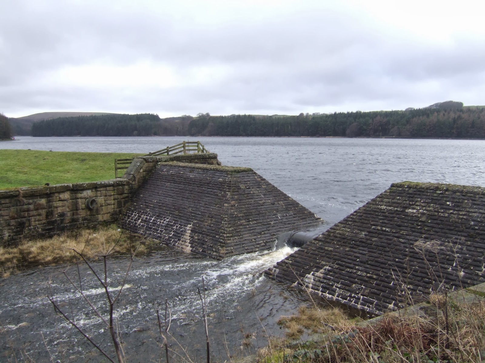
| The Overspill |
Next on the Slate: Checking a previously un-visited high point off my list!
1,000 Miles Cumulative Total: 938 miles
(2014 total: 24.8 miles)
No comments:
Post a Comment