 |
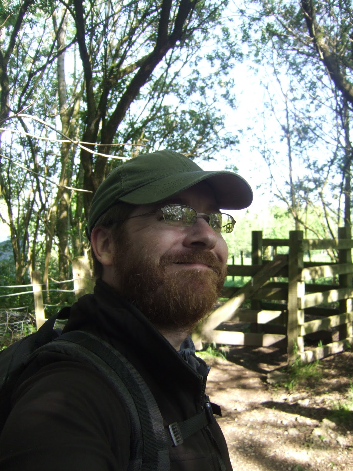
| Self at Burneside |
To the last leg of the Dales way feeling somewhat sore, as the muscles in my lower thighs and the tendons in my knees seem to be objecting after all that fell-walking yesterday, I guess that must mean that I have given myself a decent workout. My Sis does often emphasise that walking is not a particularly useful method of keeping fit as you are doing a range of physical exertions which you body is programmed to do naturally, which is why she prefers hill-walking and cycling as they are things to really get the body going. I favour point-to-point walking though, as it allows you to experience the world at the most humane of paces, and over an extended period, you can see the incredible distances that you have travelled under entirely your own power, and that's where I am today, taking the ride out from our holiday house in Bowness, to make the 20 minute trip out to Burneside and I can be momentarily overwhelmed that I am so close to my destination. The strange caprices of the universe may have thrown foul weather and the extremes of ennui at me over the last three months, but right now I am less than 10 miles from completing a real long-distance trail, as well as my walk from home to Windermere.
Walking to Windermere: The Dales Way #6: Burneside to Bowness-on-Windermere. 9.8 miles
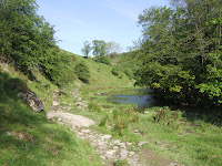 |
| The River Kent at Beckmingle Ing |
A very early start to today, 9am, hopping out by the back entrance to the James Copper paper mill which dominates Burneside, the early start coming around so that I might be able to get to Bowness for lunchtime, and departing from the road to the footpath again, you can get an impression of just how large the paper mill is as the path skirts two sides of the perimeter fence, and I calculate that the mill must cover about a third of the area of the whole town. We arrive by the water inlet to the mill leading off from the River Kent, and we join the bankside after following a rise in the fields which give the impression of this area being the most notably arable of all the farmland that my wanderings have crossed, it's certainly the neatest, and the rough lands in these parts are to be seen in the distant hills around Kentmere and Longsleddale. It's already blazing hot, with exceptionally clear skies, excellent sun-burning weather, so it's good to get a bit of shade down by the riverside as we wander upstream to the bridge which we ascend to make our official crossing of the Kent and then amble up through the village of Bowston. The footpath soon departs down an alley and the riverside is rejoined as the village passes and a Father-Son walking pair is met as a road surface is met, leading up to the mill redevelopment at Cowan Head, a completely outsize and upscale sort of complex considering the location, and after Addingham Low Mill and Linton Mill on this very trail, I wonder if the north country riversides seem to be a magnet for such things. The rural idyll returns as the path follows the notably rapid flowing Kent, and for while the path seems to get crowded as at least five more people are noted heading upstream, but solitude is regained as the south bank rises to form a secluded and pleasing spot opposite the woods that may be called Beckmingle Ing or Cockshott depending on which map you might be reading, and this would be a fine spot to hide away from the world, if it wasn't for the fact that a major footpath runs through it.
 |
| Field Close & the Kentmere Fells |
The people reappear along the next stretch, and the folly of taking your dogs walking on a path that contains many ladder stiles is revealed by one of my fellow travellers. Sheep are acknowledged as a woodland is entered, one which the guide claims to be properly ancient, and I note that the trods on either side of it take considerable shortcuts away from the riverbank, and the last field of our riverside amble is full of boulders, heralding the arrival of the rough country of the Lakeland fringe, and also our entry to the Lake District National Park. Depart from the river and rise up to meet the road into Staveley, and as if to tease us once again, the trail avoids leading us into yet another town taking the first left turn from the main road and leading us underneath the railway line into Windermere, It's slightly odd that after having a relative crowd down by the riverside, only two other people continue along the Dales Way route, as it awkwardly traverses the grounds of Moss Side before arriving on Crook Road and leading us out over the A591. A wooded glade leads us up past the very picturesque houses at Field Close, and these are the last urbane looking dwellings we'll be seeing for a while, as we're moving into some much more rustic terrain, and the path rises across the pasture to follow the hillside along the edge of Sidegarth coppice The view back from here is lovely, the whitewashed houses glowing in the sun with the Kentmere Fells behind them in the distance, and as the top is achieved, a view all the way back to the Howgills can be taken in, so absorb our last look to where we've come from, and all tracks forwards of here lead to Lakeland.
 |
| Crag House & Cumbria's shortest stream |
Descend towards New Hall farm, with the rough tops of Carus Hill and Kerris Hill rising behind it, and a look south show up the rough face of Scout Scar, and the track turns into a surfaced road and passes a field loaded with copper-coloured cattle, which are being herded from their sunshine induced idleness by a guy an a quad bike. The road rises steadily and a welcome breeze drifts across the top, and the first good Lakeland view opens out to the north as the Far Eastern Fells rise into the landscape, and a little further along the serrated edge of Crinkle Crags appears too. The road starts to descend, offering seclusion from the sun beneath the trees, but also cancelling out the breeze, and I have to stop for what can only be described as the most unintentionally painful toilet break I have ever experienced. Turn the corner to the north and start to ascend again, and the surrounding ground starts to get rougher, and evasive manoeuvres are needed to dodge a truck taking a trip up the back road, the only sign of life seen out here. The road walking doesn't help with getting my pace up as it is so damned hot, and I start thinking hard about getting to the finish, which feels a bit closer as the profile of the Coniston fells is added to the landscape. Depart the road to a farm track and the ground gets rougher still, and you wonder if this would be completely a forgotten and ignored landscape if it wasn't for the tourist lands on the horizon, certainly anyone who chooses to farm out here must be hardy soul as this is some unyielding terrain.Finally wander into the open fields, littered with rocky out crops, and descend to follow a plantation boundary and carry on into a landscape of gorse bushes and rowan trees, which ends as you arrive at the grounds of Crag House farm, and there's an appropriate name for this locale, and at the bottom of the fields you find possibly the shortest stream in the county, a spring bubbling up to the surface and then the water disappearing into a water sink only two metres away.
 |
| A sneaky look back to Red Screes |
Rise to pass the farm, and then move north along the field boundary to encounter the first walker seen since Stavely, and pass the house at Outrun Nook, made over to look very appealing in this sunshine, and then a farm track is gained to lead up to Hag End, which looks a bit more 'lived-in'. The path rises to start to offer further vistas towards the lakeland fells, and I start to wonder if the route was deliberately planned to give you fleeting glimpses of the surrounding landscape whilst actively concealing your destination. The hill I am below as I travel through the grass and scrub is Grandsire, and on another vista change, we get a look towards School Knott and I start to feel that my destination is getting ever closer as more points in the landscape become familiar. It clouds over somewhat as we approach midday, and that is most welcome as I've had another day of hard sweating, and the descent to meet the path that I walked on Sunday proves challenging as the marker posts keep leading me into some rather marshy ground, and then we are on a known path and the wander down to Pinethwaite is rockier and wetter than I had remembered, and from there the path hairpins sharply south and you know that the path is going this way to keep you away from the edge of Bowness, and below a large and mostly dry pond that isn't on the map is getting the attention of various earth moving vehicles, dredging it or filling it in? I start to worry that I'm going to be late as I have less than an hour to my ETA but I'm still on course, so I pick up the pace as I head down towards the various houses at Cleabarrow, and a glance back to the north shows Red Screes illuminated in the distance whilst the immediate surroundings are all in shadow. Then we finally drop out on the B5284, the road well-travelled this week, and thankfully the permissive path means I don't have to try walking in the face of the on-rushing traffic.
 |
The Dales Way Seat
& Windermere |
Leave the road for the last leg, and the trail could easily lead the unwary walker into the front yard of a group of cottages, and you have to be alert to spot the trail which leads past a wood worker's shed, and through a copse to drop you out an Lickbarrow Road. The path descends by Matson Grounds farms and when presented with another pond that doesn't appear on the map, I choose to not consult the route guide and instead trust my sense of direction and take the path to the north side of it, and I've gone some distance before I start to get the feeling that my surrounding views aren't the ones I'm expecting, and getting sight of Helm Farm confirms that I am going north instead of west. It's a bit late in the day to completely balls up my route-finding, and choose to not retrace my steps and instead take the shortest route back to the trail in the direction of the finish line, and having walked it already means I do know where I'm going this time. Pass Brantfell farm, with its space-age tree house, and descend down to the pasture which has our first view of Windermere sneaking into view, and that would inspire quicker steps if it wasn't for the fact that cattle are roaming around, too close to the path for comfort. The next field opens out the view and the whole Northern end of the lake appears and secluded beneath the trees is the Dales Way seat, marking the official end of the trail, and in the absence of fellow travellers, I again photograph by bag and stick in repose before starting down the hill at a pace towards the town, meeting Brantfell road for a rapid decline down through the expensive corner of Bowness (actually, does it have a cheap quarter?), a hill which would be no fun at all if you were starting the trail in the opposite direction. Roll out into the throng of tourist by St Martins church and the last paces of the day are slow as I make my way down the Promenade and onto the lake shore. Irregardless of tourists, I stride down onto the beach and put down by bag and take off my boots and paddle out into the shallows of Windermere, not very far as the water is freezing cold, but it's 1.05 pm and the Dales Way is done, and the Walk to Windermere is done, and it's a great feeling, and I take a bow to many non-plussed holiday-makers!
 |
Self, literally in Windermere,
& that's another feather
in my walking hat! |
Unfortunately, my welcoming party of parents and nieces are not on the right part of the shore to greet my arrival, and my Mum arrives to find me just as my feet start to feel numb and I retreat from the water, I stroll back to meet up with them on suddenly stiff ankles and think, 'a greeting banner and bunting would have been nice...' but that's probably a bit much to expect. I have arrived at my holiday destination, and now I feel ready for my holiday to begin, but the sad truth is I've only got a couple more hours in Cumbria as our let has ended and after lunch, we are all going to have to return home, and honestly I don't think anyone wants to do that, I've certainly got another three walks that I'd like to do immediately, and we'd even considered extending our stay to cover the following weekend. But the reality comes down on us, and all good things must come to an end, and more disappointment is to be had when I find that the Bowness tourist information office does not sell Dales Way pin badges, and I am going to have to return to Ilkley to get one, so the metaphorical feather in my cap will have to be represented literally. Meet up with My Sis and Dr G after their epic morning bike ride, and hit the nearest available cafe for the Cumberland sausage barm that my exertions have earned, and then peoples are returned to their vehicles for the rides home, and it's pretty much plain sailing all the way back to Morley. Despite the route back not going close to the trail that I traced, my mind is momentarily boggled with the thought that I had literally walked all the way from Morley to Windermere, and I can only conclude that maybe the world is actually a lot smaller than I thought it was.
1,000 Miles Cumulative Total: 663.3 miles
(2013 total: 198 miles)


No comments:
Post a Comment